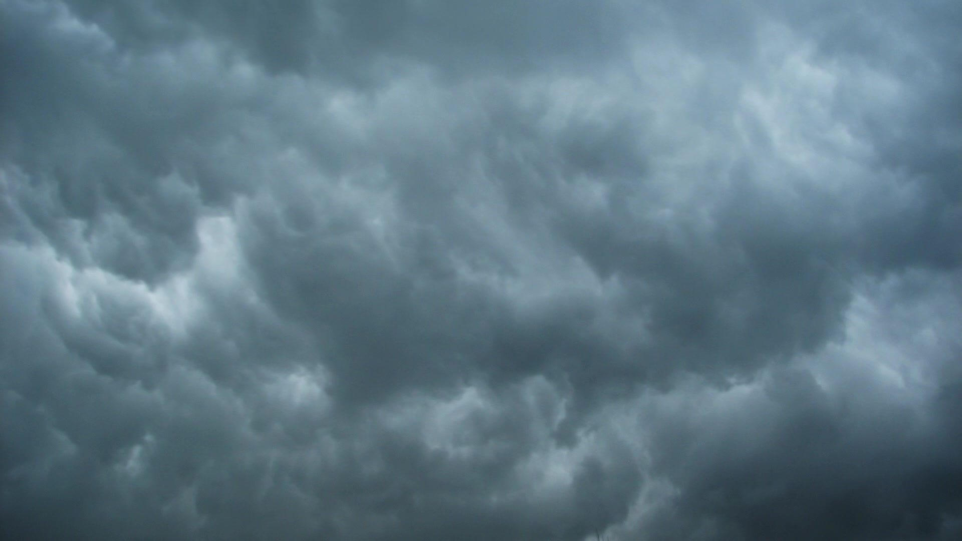
Severe weather possible over the Midwest on Monday, July 13th.
- Jul 12, 2015
- 2 min read

The Storm Prediction Center has placed Champaign-Urbana and surrounding portions of central Illinois under a 'Moderate Risk' for severe thunderstorms tomorrow (Monday, July 13th). This is a fairly rare occurrence for a Day 2 Severe Weather Outlook, and shows high confidence in the potential for a widespread severe weather event in our area.
Details aren't entirely clear at the moment, as specifics will be dependent on how storms this afternoon in Minnesota, which will ultimately move southeast into portions of Illinois and Indiana overnight tonight and on Monday morning affect the environment in our area going forward.
Generally speaking - there could be one or more remnant boundaries left behind by morning storms in central Illinois, along with a cold front approaching from the north. Any one of these boundaries interacting with a very unstable, hot/humid air mass could be the focal point for severe thunderstorms to redevelop during the late afternoon and evening hours. Should isolated storms develop near these boundaries, a couple of tornadoes would be possible early on. Eventually, a quick upscale growth and organization of storms into a line or bow is expected, which would increase the potential for widespread damaging winds, but also eventually lower the tornado risk as we head into the late evening and overnight.
Tornadoes prefer isolated lonely thunderstorms - and while a widespread line/bow of storms would increase the chance we are actually impacted by a storm, as well as increasing the potential for damaging winds, it will in turn lower the overall tornado risk.
All that said - the potential is very clear, but the specifics are not. Just be conscious of the potential for severe storms in the CU area first potentially during the morning hours on Monday, but more likely during the late evening hours.


Comments