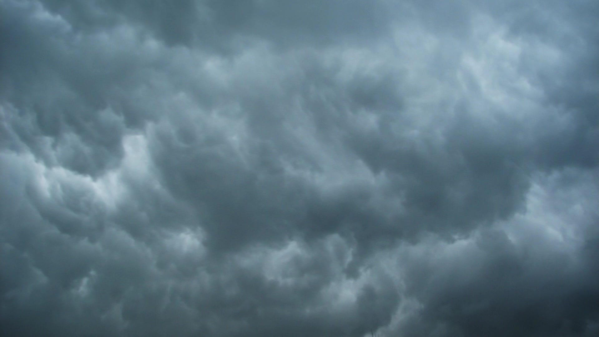
Severe weather possible this afternoon/evening
- Andrew Pritchard
- Apr 9, 2015
- 2 min read
Severe weather is the hot topic today, so what does that mean for us in Champaign-Urbana? Early in the day, not much. We'll be seeing plenty of rain and embedded non-severe thunderstorms for much of the morning, perhaps up until the lunch hour. Flash flooding will be the main concern this morning in areas that see repeat rounds of storms. The big question mark is this afternoon. Before the storms even develop... will we see any sunshine in central Illinois? It may seem like an odd question to ask - but thunderstorms need instability to help them reach severe levels, and they get that instability from the sun shining down on the ground heating us up. That warm and humid air mass drives thunderstorm development during the afternoon, and if we remain cloudy and cool that instability may be lacking which would really put a lid on any widespread severe weather this afternoon. But what if we do see some sunshine and sufficient instability begins to develop? A) I will let you know. But also B) I would expect thunderstorms to erupt near the Mississippi River during the afternoon, with any storms that would affect us here in Champaign-Urbana developing near the St. Louis area and quickly moving northeast into our area during the evening. Even with sufficient instability - the wind shear needed to create storm rotation and tornado development is not off the charts by any means and still may limit us from seeing a major tornado event in central Illinois. I am however, watching what is called a mesoscale-convective-vortex, or MCV over southwest Missouri right now that is slowly drifting this direction. This little "swirl" in the atmosphere can create a local environment of its own enhancing wind shear locally and creating a favorable region for supercell thunderstorms and perhaps isolated tornadoes. I will be watching this feature closely as the day progresses. The main lesson here is that there are a *lot* of question marks today. It could be a fairly mundane rainy day with a lot of wasted hype, but it could also end up being a day in which we see several tornadoes across central Illinois. My guess is we end up somewhere in between. I do expect several severe storms in the area this evening, but I think the main threat in CU and surrounding areas will be damaging winds. All that said, I would not be surprised if we find ourselves under a Tornado Watch this afternoon - and advise you to keep an eye on your favorite weather source and take any warnings very seriously today. Storms will be moving quick and time will be precious once any storm is in our neighborhood.


Comments